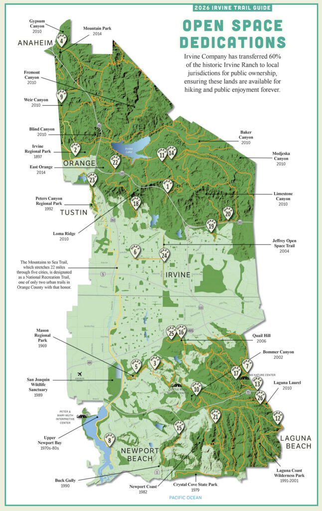
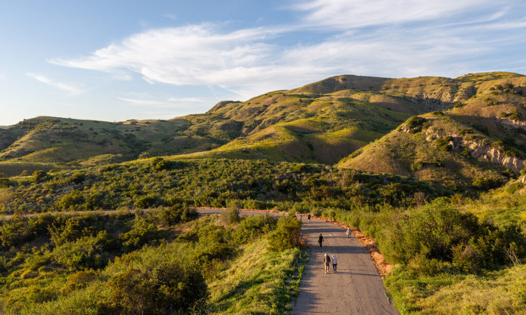
In Irvine, connectivity is the name of the game. Most hikes here offer a variety of trails that link to other wilderness or parklands. Hikers looking to satisfy fitness goals can easily cobble together longer, more challenging routes, particularly during Wilderness Access Days. Hikers interested in ocean views, oak groves or riparian habitats might choose to take short out-and-back sorties to their preferred destination instead of completing an entire loop. The options are endless. See you on the trails.

1. Hicks Haul Road to Limestone Canyon
Launch point: Hicks Haul Road – Jeffrey
Distance: Varies, 3 to 8 miles
Good to know: Paved and pretty

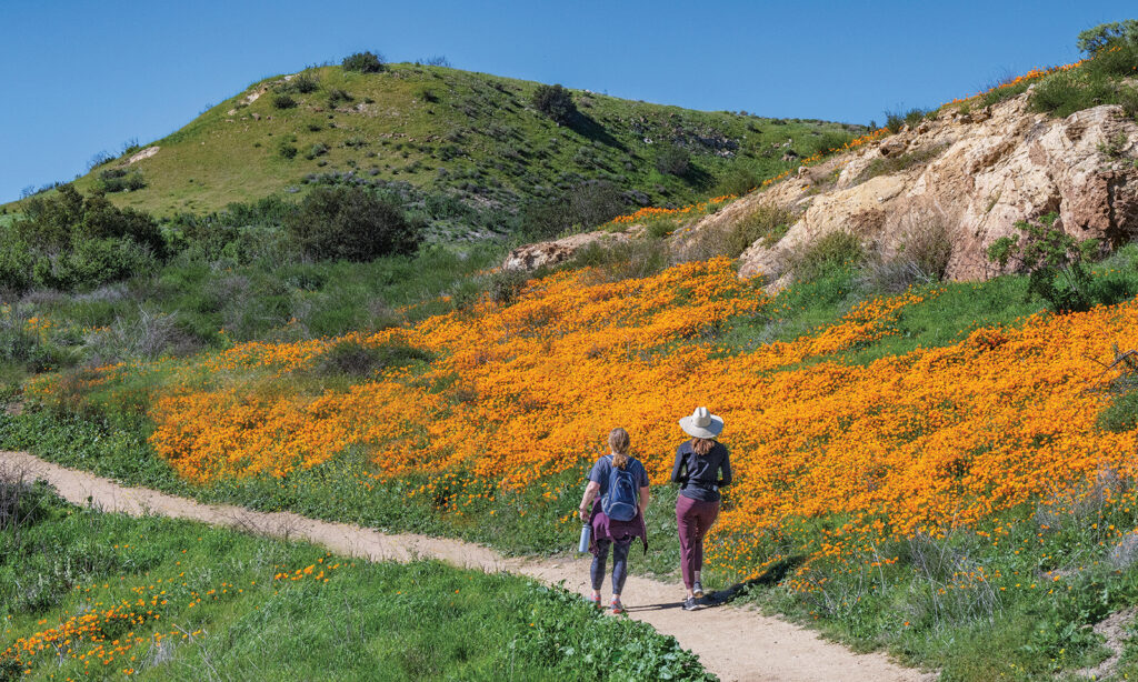
Frequent fitness-focused hikes are scheduled on paved Hicks Haul Road and West Loma and Shoestring trails in Limestone Canyon, with distances varying depending on personal preference. The top of Loma Ridge provides a panoramic view of much of Orange County. Hawks are often seen riding the thermals, and poppies are positively plentiful in spring.
2. Fremont Canyon to Weather Station
Launch point: Fremont Staging Area
Distance: 6 miles
Good to know: Sustained elevation gain
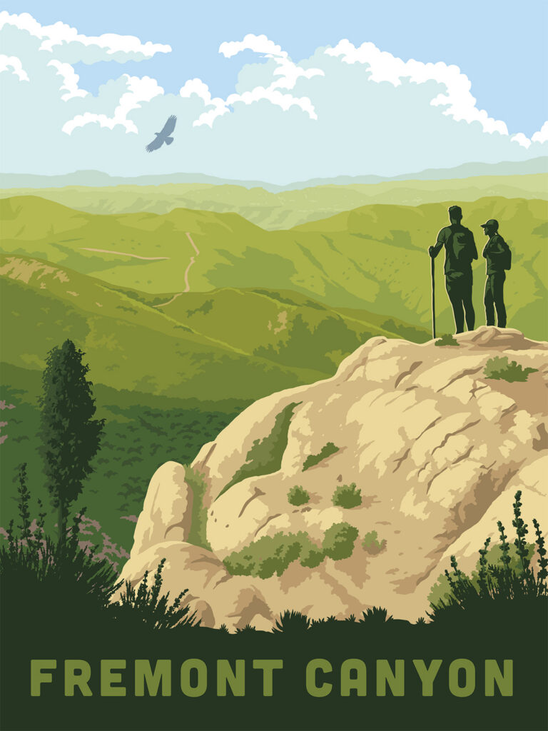
This out-and-back hike ascends steeply from the launch area and keeps going up. Along the way, stop to catch your breath at the sign proclaiming the site of an abandoned coal mine. Reaching the weather station, imagine what it is like to encounter the 100 mph winds that have been recorded at this spot.
3. Turtle Rock/French Hill Loop
Launch point: 1 Concordia
Distance: 4.1 miles
Good to know: Steep but stunning
The Turtle Rock/French Hill Loop includes paved sidewalks as well as steep dirt trails. It takes an estimated 2 to 2.5 hours to complete. The 820‑foot elevation gain makes for a great workout, with the summit offering spectacular views of the surrounding hillsides. In spring, plentiful wildflowers bloom.
4. Gypsum Canyon Wilderness
Launch point: 390 S. Gypsum Canyon Road
Distance: Up to 6 miles
Good to know: Hike, bike or horseback-ride
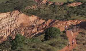
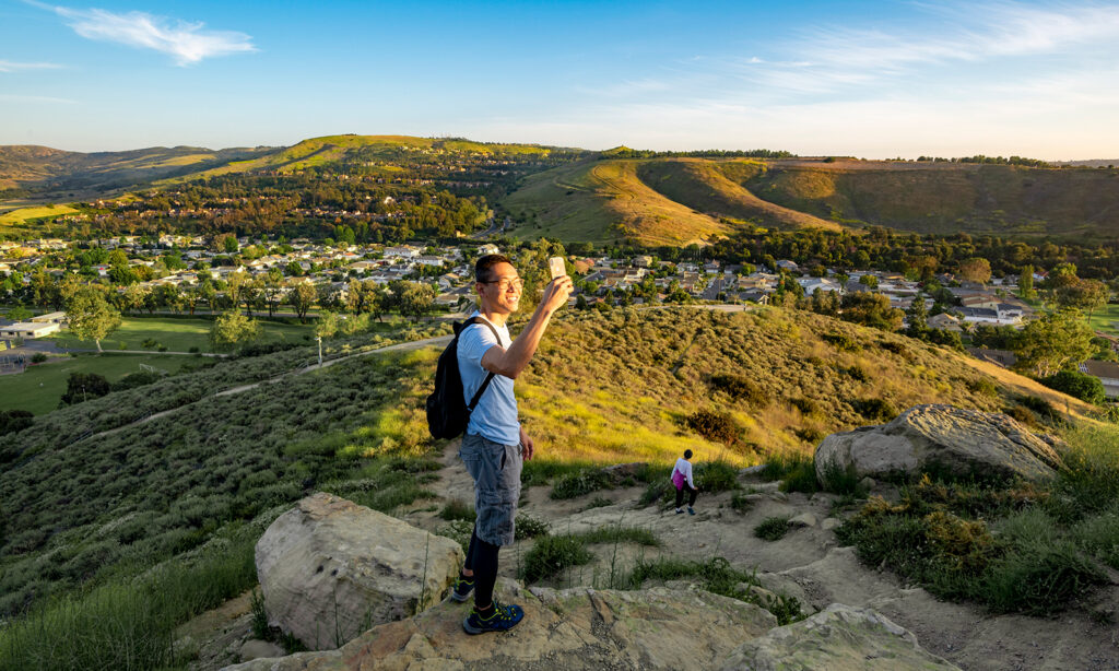
Gypsum Canyon features several trails leading to two outstanding lookout points. Views of eroded red rock cliffs vie with sweeping vistas of surrounding canyons to elicit hikers’ oohs and aahs. A favorite hike is the Cactus Wren/Miner’s Trail loop, about 2.5 miles and a 500-foot elevation gain. The trails wind amid sagebrush, buckwheat and cactus.
5. William R. Mason Regional Park
Launch point: 18712 University Drive
Distance: Lake Loop, 1 mile; Sand Canyon Wash, 3.2 miles
Good to know: Picnics and perambulation


A pleasant, lake-centered park in the middle of Irvine, Mason Regional Park features miles of flat hiking and biking trails amid sycamore trees. The short Lake Loop is perfect for parents pushing strollers or wheelchair users. Birders might opt for the Sand Canyon Wash Trail in the 123‑acre park’s wilderness area, away from crowds.

6. Venta Spur Trail
Launch point: Silkwood Park
Distance: 1.9 miles
Good to know: Loved by locals
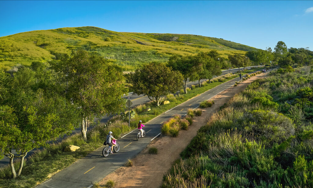
The paved Venta Spur Trail winds among homes, colorful hedges and gardens, offering a great option for dog walking, a jog or a serene stroll. You might want to tap into a bird-identification app because you’ll hear plenty of birds along the way. Wheelchairs and strollers are easily accommodated on this pretty path.
7. Mary’s Trail
Launch point: Nix Nature Center
Distance: 0.25 miles
Good to know: Great for curious kids
Mary’s Trail is short, yet showcases a plethora of local plants, wildlife and a wonderland of wildflowers in the spring. Monthly themed, family-friendly scavenger hunts offer a fun way to learn about the coastal sagebrush ecosystem. Curious kids might spot western fence lizards and numerous species of birds.
8. Mountains to Sea Trail at Back Bay
Launch point: Back Bay Drive off Jamboree Road
Distance: 6 miles
Good to know: Best for bird‑watching
Enjoy this out-and-back paved road that hugs the coastal wetland, one of the finest bird-watching sites in North America. Look out for six rare or endangered species: light-footed clapper rail, brown pelican, Belding’s Savannah sparrow, black rail, peregrine falcon and California least tern. You’ll likely see red-tailed hawks, too.
9. Weir Canyon to Ox Cart Monument
Launch point: Weir Canyon Trailhead, more info at registration
Distance: 5 miles
Good to know: Plaque celebrates oxcart drivers
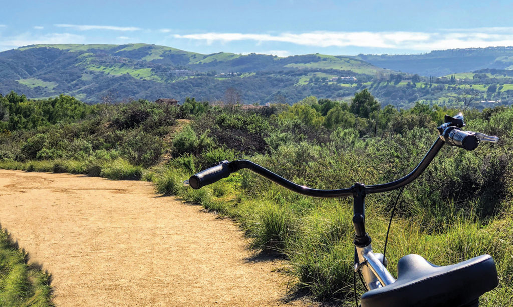
Weir Canyon boasts some of the most spectacular oak tree woodlands in Orange County. The lollipop hike along old ranch roads takes you into the backcountry with 500 feet of elevation gain. You’ll reach the Ox Cart Monument, dedicated to Mexican oxcart drivers of old who transported hides through the canyon to San Juan Capistrano.
10. Ridge Route out‑and-back
Launch point: Bommer Cattle Camp
Distance: 3 miles
Good to know: Winding with wonderful views
Full-moon fans love the route with switchbacks up to the Hogback Ridge Trail, linking to Serrano Ridge. Enjoy views of untamed coastal sagebrush, elegant Irvine homes and the Shady Canyon Golf Club, a smorgasbord of the best of Irvine. Intrepid hikers might prefer guided hikes that ascend steep, challenging East Fork and return down Ridge Route.
11. Limestone/Dripping Springs
Launch point: Augustine Staging Area
Distance: 5.5 miles
Good to know: Rare access to lush watering hole
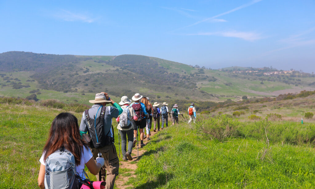
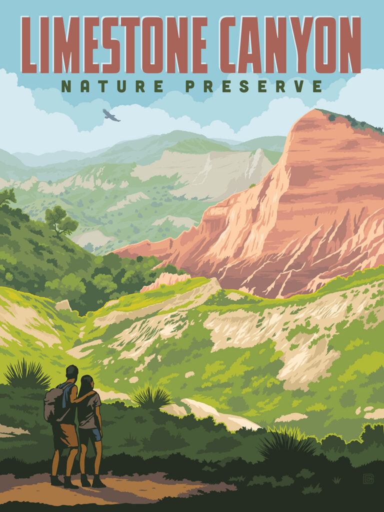
On this hike, take your time along Limestone Canyon, ascending 400 feet to Dripping Springs, a lush fern-festooned oasis amid coastal sagebrush and prickly pear. This important watering hole provides sustenance to wildlife and birds. Engage all five senses on this slow-paced meander.
12. Big Bend/Laguna Ridge Loop
Launch point: Big Bend parking lot, near Laguna Canyon Road and Castle Rock Road
Distance: 3.75 miles
Good to know: Super steep with super views
Big Bend is challenging for the fittest of hikers, but the view at the top – and your sense of accomplishment – are worth the trek. The sandy trail ascends about 1.5 miles with 750 feet of elevation gain. Turn left on Bommer Ridge, then take Laguna Ridge, a rocky but rewarding 1.25‑mile trail, down to Stagecoach and back to the parking lot.
13. James Dilley Preserve to Barbara’s Lake
Launch point: Dilley parking lot, 350 Artisan Drive, Laguna Beach
Distance: 2.5 miles
Good to know: Kid-friendly with wonderful waterbirds
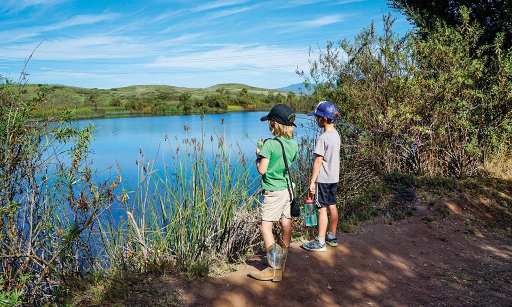
Kids love this easy hike with barely any elevation gain. Enjoy the diversity of the local ecosystem, including tall sycamores, wild grape and willows as you make your way to Barbara’s Lake, Orange County’s only natural lake. Ducks, coots and pelicans ply the calm waters. You might spot a turtle or two lazing in the sun.
14. Red Rock Wilderness
Launch point: Augustine Staging Area
Distance: 2-9 miles
Good to know: Riveting red rock formations
Home to a diverse population of plants and animals, Red Rock Wilderness is known for views of rugged canyons and red rock cliffs. A guided hike takes you past a model airplane field, rises to a ridgetop and then loops back with views of Irvine Lake. There are several options, distance-wise, and maps are available on Wilderness Access Days.
15. Buck Gully
Launch point: Fifth and Poppy, Corona del Mar
Distance: 4-6 miles
Good to know: Lush canyon near the beach
Four prefabricated aluminum bridges were lowered from helicopters into Buck Gully in 2012, each crossing the year-round creek at different spots. The bridges offer great vantage points to view wildlife, from slow-moving turtles to beautiful birds, delighting young kids. Enjoy the shady leaf canopies that keep you cool on hot summer days on this out-and-back trail.
16. Shady Canyon to Nature Loop
Launch point: Quail Hill Trailhead
Distance: 3.5 miles
Good to know: Accessible rain or shine
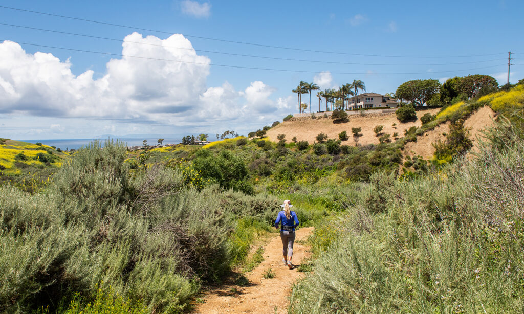
Head slightly uphill along the paved path with views of stately homes on your left and Strawberry Farms Golf Club on your right. Turn left at Bommer Preserve to hike Bommer Meadow and Nature Loop, enjoying the restored habitat and likely the sight of deer, rabbits and quail along the way amid the coastal sagebrush and buckwheat shrubs.
17. Little Sycamore Trail
Launch point: Nix Nature Center
Distance: 2 miles
Good to know: Sycamores and creek crossings
Looking for a short but steep out-and-back hike with great views of the Pacific Ocean? Start at Nix Nature Center to consult a topographical display of Laguna Coast Wilderness. After heavy winter rains, a creek babbles its way past sycamore and coastal oak groves. Pace yourself as you climb 400 feet in a mile, crossing four bridges along your way to Serrano Ridge.
18. Orchard Hills Loop
Launch point: Orchard Hills Loop Staging Area
Distance: 3 miles
Good to know: Avocados and heart-thumping ascents
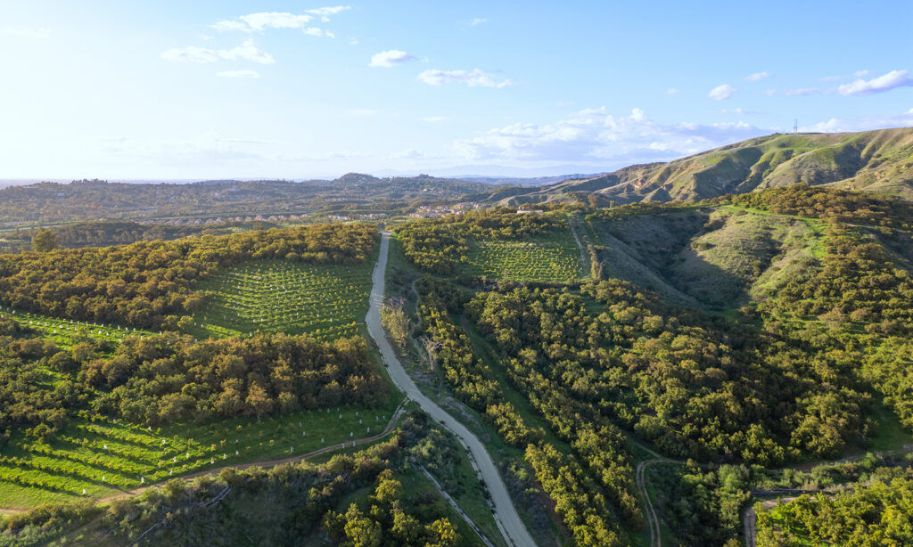
This tough hike offers a workout with several steep climbs and rocky trails. The sunset hikes are particularly popular. The trail meanders past an avocado orchard up to a spot that offers gorgeous views of Irvine and the coastline. Continue to Hangman’s Monument if you’re feeling fit enough for a challenging 6-mile hike.
19. Tomato Springs
Launch point: Street parking on the east end of Desert Bloom
Distance: 0.5 miles
Good to know: Easy, plus sensational sunset views
The Tomato Springs Trail, a mix of paved and dirt paths, is easy, with only 45 feet of elevation gain. You’ll reach the spot where Gaspar de Portola camped during his 1769 expedition. Enjoy panoramic sunset views of Irvine, the Santa Ana Mountains and, if you’re lucky, Catalina. Great hike for the little ones.
20. Agua Chinon to The Sinks
Launch point: Portola/Agua Chinon staging area
Distance: 6 miles
Good to know: A ravine to rave about
Sign up for a slow-paced hike to sheer cliffs on the west side of The Sinks, a stunning crack in the land that is sometimes called Orange County’s mini-Grand Canyon. Take it easy as you gain 1,000 feet of elevation in just a mile. Wonderful views of canyons and the scent of sagebrush add to the enjoyment of the hike.
21. Crystal Cove State Park
Launch point: Pacific Ridge Trailhead
Distance: Up to 9.5 miles
Good to know: Ocean views and oak woodlands
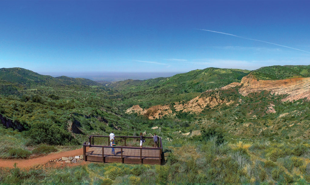
Hike along Bommer Ridge to experience spectacular views of the ocean and canyons. If you’d like more of a challenge, head down Rattlesnake to West Cut-Across then back up Moro Canyon Trail. Choose between Slow-and-Easy and Elevator to return to Bommer Ridge for a 6-mile hike or follow the 9.5-mile perimeter for a longer option.

22. Saddleback Wilderness
Launch point: Saddleback Staging Area
Distance: 3.5 miles
Good to know: Hikes with history in mind
Saddleback Wilderness docents host native plant hikes as well as treks to an incredible viewpoint with panoramic views. The coastal sage scrub habitat is home to a variety of birds, lizards and native digger bees. The route, with about 350 feet of mild elevation gain, winds past relics of the motocross races that were once located here.
23. Peters Canyon
Launch point: 8548 E. Canyon View Ave., Orange
Distance: Up to 6 miles
Good to know: So many trails, so many trees
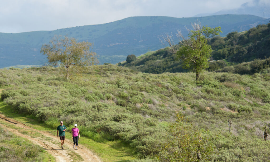
A favorite for moderate hikes, Peters Canyon offers views of the Upper Reservoir, canyon ridgelines and riparian habitats. With about 680 feet of elevation gain, the East Ridge View Trail offers a decent workout. Lemonade berry trees, eucalyptus and sycamores provide green relief on bright summer days.

24. Jeffrey Open Space Trail
Launch points: Numerous entries
Distance: Up to 5 miles
Good to know: History at the heart of it all
Jeffrey Open Space Trail is a mostly linear, flat trail that wanders along expansive grassy areas, dry creek beds, leafy side paths, stone bridges and tunnels. Plaques explaining the history of the area provide meanderers with insights into the county’s past. The linear park provides a key link between Irvine’s northern and southern open space preserves.
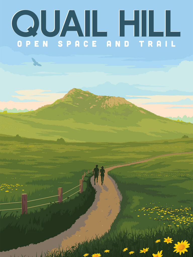
25. Quail Hill Loop Trail
Launch point: Quail Hill Trailhead
Distance: 2 miles
Good to know: Open from dawn to dusk
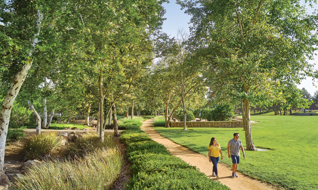
The Quail Hill Loop is a favorite of early-morning and early-evening hikers and dog walkers. Easily accessible, the loop rises gently but is mostly flat, making for a pleasurable meander with great views of Irvine and an opportunity to revel in the natural habitat. Nearby coffee shops and restaurants offer great spots for leisurely post-hike get-togethers with friends.
26. Willow/Laurel Loop
Launch point: Willow Staging Area
Distance: 3.5 miles
Good to know: A geologist’s delight
Begin this moderate hike by ascending Willow Trail early while it’s cool, then turn right along Laurel Spur to reach Laurel Canyon Trail, a shadier route back to the parking lot. There’s so much to see: rocks whitened with calcium carbonate from ancient shellfish, evidence of an earthquake, a seasonal waterfall and Ghost (or Emoji) Rock.